De crêtes en vallées
Difficulty ratingEasy
Distance (in km) 75,3
Elevation gain + (in m) 2842
Elevation loss - (in m) 2799
Length in Days/Nights (3.5 km/h) 8/7
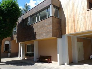
The lodge “Cercle St Thiebaut” is located near the train station and downtown Thann, not far from the hikingtrail GR5. It is a point of departure and a destination or a stopover for hikers. Due to its location, the hostel can be easily reached by bus from all
...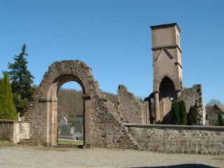
The old church is dedicated to St. Blasius and located outside the village of Leimbach in "Gottesthal" (valley of god). The church is in ruins and is surrounded by a cemetery.
The church from the 12th century, was destroyed for the first time in 1468 and then
Homemade ...
The dishes on the menu ...
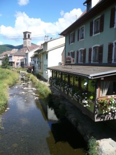
Masevaux, is the central place of the Doller valley and is an idyllic place: the Grange Burcklé is a good location for music and theater events; the Catholic church performs each year the Passion of Jesus in German language; the Church of St. Martin organizes
...
The Virgin of Alsace (Vierge d'Alsace) stands on the Eichstein ledge and is watching over Niederbruck and the Doller valley. It was sculpted in 1923 by Antoine Bourdelle in gray stone. Before setting up the sculpture it was presented at the Autumn Paris Fair.
...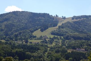
The Schlumpf ski resort at Dolleren, is located between 675m and 1012m altitude and has three slopes:
- La Verdure, a red slope with an average gradient of 30%
- La Dolleroise, a green slope
- A toboggan run
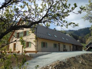
On the sunny side
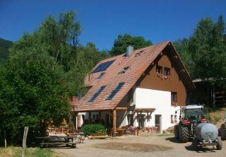
The Graber hostel is located on the southern side of the Masevaux valley, nearby the Doller source.The Bittel familiy took over the lodge to preserve local traditions.
The architecture is an example of farms from the late 19th century. Th
...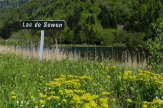
Sewen Lake is characteristic of the ancient glacial valleys. The lake is actually transforming into marshland. Beavers were reintroduced here recently in their natural habitat.
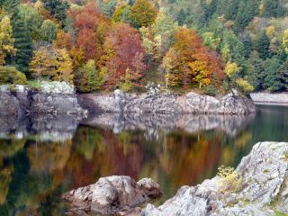
Overlooking the Doller valley the Alfeld Lake is dammed since 1883, to supply lower levels with water. His origin is due to glacial erosion. A path leads to a hut near a cascade.
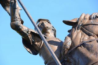
The Ballon d'Alsace Ballon extends over the regions of Lorraine, Franche-Comte and Alsace. The Ballon d'Alsace is located in the Regional Natural Park of Ballons des Vosges as well as in the the nature reserve of the Ballons Comtois. For over 30 years this pea
...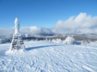
Located 1247m above sea level, the Ballon d'Alsace offers in summer: hiking, biking, the so called Cani-rando (accompanied by a dog), paragliding, climbing trees (acrobranch)
In winter it is one of the largest ski resorts of the Vosges and a snow park, more
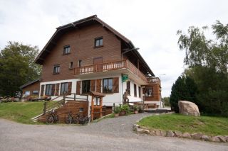
Overlooking the Doller
The inn of Langenberg is on the Alsatian side of the Ballon d'Alsace, nearby Franche-Comté (Belfort is at 30 km) and the Lorraine Region (Remiremont is at 40km). The place offers a panoramic view over the Vallée de Masevaux and Sewen.
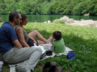
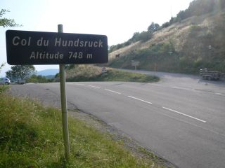
The Lake Perches, also called Sternsee (lake of the stars), is located in an old glacial cirque at 1000 meters altitude. Its name isn't due to the fish of the same name but to a transmission error. It should have been called “Bers”, the name of a pasture nearb
...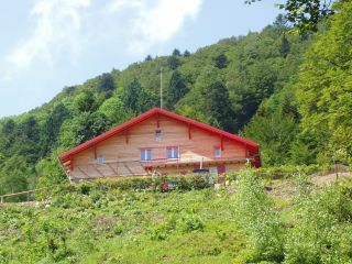
The Gazon Vert lodge is situated at 928m in a greenery surrounding. The traditional construction has been preserved as well as the view from above over the Storckensohn valley. Gazon Vert is different from the other lodges of the H...
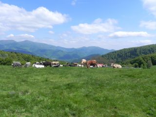
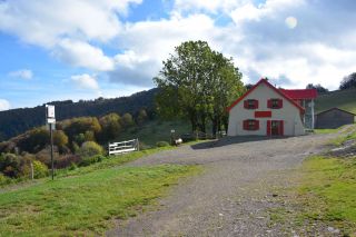
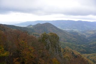
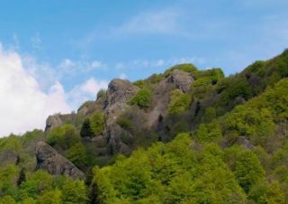
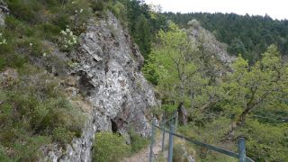
In the vicinity of Vogelstein, rocky headlands located at 1 181m above sea reveal the Belacker Inn. The terrace of the establishment offers a view of the valley of Saint-Amarin and of the highest peaks of the Massif des Vosges, the Gra...

Homemade ...
The dishes on the menu ...
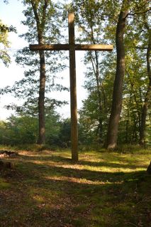
The Missions Cross (Croix de Mission), on the territory of the municipality Thann, was built in 1950 by scouts and destroyed by the storm in 1999. In 2003 the cross was rebuilt with the support of the French National Forest Service (Office national des forêts)
...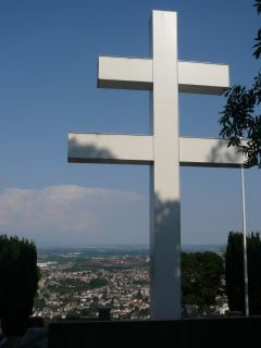
The Cross of Lorraine (Croix de Lorraine) was inaugurated by General de Gaulle in 1949 in memory of all the fighters who fought during World War 2 in this place. It is a monument of Alsatian resistance. The cross is illuminated and can be seen from Thann.
...
Located at the bottom of the Thur Valley and at the foot of the Vosges, Thann invites you to discover the charm of an old alsatian fortified town.
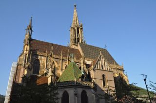
One of the most important relgious buildings of the town is the Collegiate church of Saint-Thiébaut. It is a j

The lodge “Cercle St Thiebaut” is located near the train station and downtown Thann, not far from the hikingtrail GR5. It is a point of departure and a destination or a stopover for hikers. Due to its location, the hostel can be easily reached by bus from all
...