Ferme Auberge of Buissonnets


Caracteristics
- Accommodation types :
- Farm - Guesthouse
- Capacity :
- 6 Rooms
- 21 beds
- SURFACE :
- Capacité (persons) 21
Opening :
- Visibility on the following itinerary :
- Cercle st thiebaut - Buissonets
- Location :
- in the mountains
- General description :
- Restaurant room
- BALCONY/TERRACE :
- Terrace
- Garden
- Garden furniture
- Sun lounger
- CHILD EQUIPMENT :
- Baby cot
- Highchair
- Baby change mat
- PARKING/GARAGE :
- Public car park
- Cycle shelter
- ANIMALS :
- Animals not accepted
- Languages spoken :
- French
- German
- Towels and sheets :
- Beds are made on arrival
- Sheets provided
- towles provided
Presentation
Ferme Auberge of Buissonnets
GPS coordinates
Latitude : 47.80787
Longitude : 7.02715
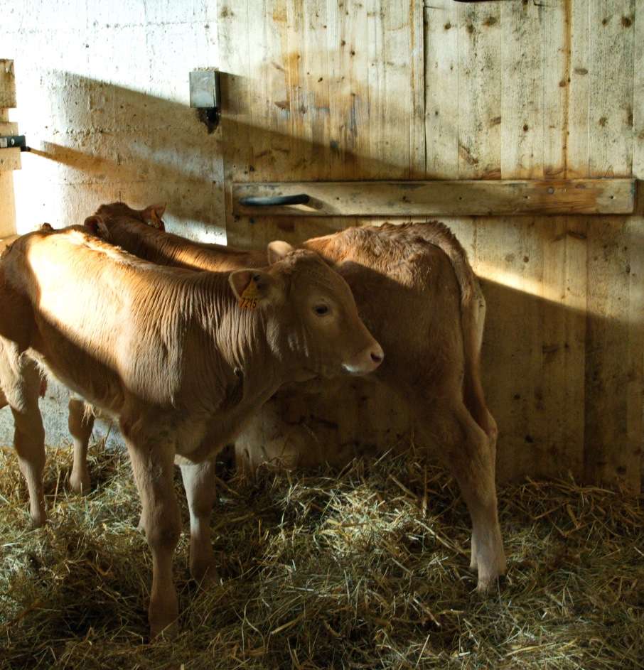
The Ferme-Auberge Buissonnets is situated on the southern slopes of the Rossberg massif, near the village Bourbach-le-Haut and the Hundsruck pass. The farm is embedded in pastures, and keeps many kinds of farm animals.
Homemade ...
The dishes on the menu are mainly from local agricultural production. Caroline Welker-Jenn and Baptiste Jenn offer depending on the season, cakes, cheese potatoes, farmers omelets, baeckeofa (Alsatian stew), pork (in autumn), and the Bargkass (mountain cheese) ...
Dairy in the past, today a farm and a lodge
The Ferme-Auberge combines agriculture activity and tourist offer. Caroline and Baptiste are farmers as well as innkeepers and the descendants of former dairy farmers. They stand for the traditions of the Vosges mountains. Their work and dedication support the preservation of the landscape and biodiversity. Tourism also represents an important financial support for the farming activity.
Localisation
Acces: - Take the Joffre road RD 14 to IV to the car park on the Hundsruck Pass, then follow the signs by foot "red cross" to the farm Buissonnets. - Bourbach-le-Haut. Car park next to the school. Take the footpath from the chapel leading to the Rue des Rochelle, then turn left on the Maienbe way.
My favorits
Come and visit our animals, accompanied by Baptiste. He'll tell you all the
little secrets of our habitants.
Contact details of the owner
Ferme Auberge of Buissonnets
JENN Caroline
Rue des Buissonnets
68290
BOURBACH LE HAUT
Phone : +33 389388587
Excursion
-
Roman King's PlaceGPS coordinatesLatitude : 47.81100Longitude : 7.07797
 This tree nursery is located between the Welckentalkopf and the Herzogsberg in the Rossberg massif. The name reminds the birth of Napoleon's first son in 1811.
 -
Teufelskanzel rockGPS coordinatesLatitude : 47.80842Longitude : 7.04609
 Nearby Hundruck pass, the Teufelskanzel rock has volcanic origins. Its name has Germanic roots and means devils pulpit.
 -
Fuchsfelsen RockGPS coordinatesLatitude : 47.82529Longitude : 6.99886
 The Fuchsfelsen ledge was created to allow a panoramic view of the Doller valley and the Ballon d'Alsace.
 -
Volcano forestGPS coordinatesLatitude : 47.82957Longitude : 6.98788
 The Vogelstein rocks (1164m) overhang the volcano forest and are classified as a nature reserve, due to the unique forest and the special flora and fauna.
 -
Vogelsteine (lava flow)GPS coordinatesLatitude : 47.82894Longitude : 7.00402
") The Vogelsteine lava flow dates from the volcanic period of the Vosges mountains, 330million year ago. At that time the surface was covered by a low water sea and islands.
The Vogelsteine lava flow dates from the volcanic period of the Vosges mountains, 330million year ago. At that time the surface was covered by a low water sea and islands. -
The tree with the six truncsGPS coordinatesLatitude : 47.81527Longitude : 7.06183
 The tree with the six truncs lies nearby crossroad Diebolt Scherrer between Thann and the Farm-lodge Buissonnets. This type of tree with multiples trunks is caracteristic of the old meadows, won back by the forest.
 -
Hundsruck mountain passGPS coordinatesLatitude : 47.80622Longitude : 7.04226
 The Hundsruck mountain pass lies at 748m forms the passage between the valleys of the Thur and the Doller. Cyclists climbing the pass regulary. The french army built this road, called Joffre Road, to supply the front at Hartmannswillerkopf during the First World War. The pass is the depature for ...