Hundsruck mountain pass
Presentation
Hundsruck mountain pass
GPS coordinates
Latitude : 47.80622
Longitude : 7.04226
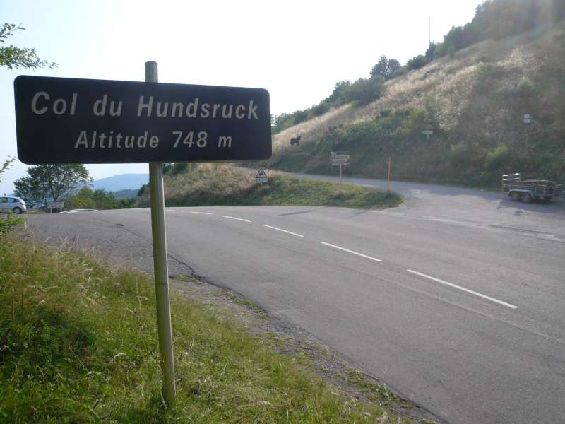
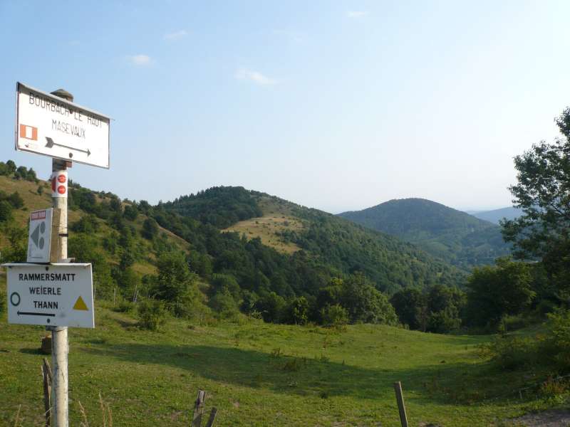
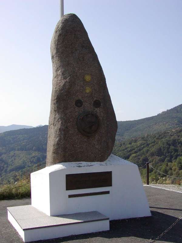
The Hundsruck mountain pass lies at 748m forms the passage between the valleys of the Thur and the Doller. Cyclists climbing the pass regulary. The french army built this road, called Joffre Road, to supply the front at Hartmannswillerkopf during the First World War. The pass is the depature for many trails to discover the Rossberg massif.
Localisation

Contact
Hundsruck mountain pass
68290
BOURBACH LE HAUT


