Auberge du Belacker


Caracteristics
- Accommodation types :
- Mountain Inn
- Capacity :
- 8 Beds
- 25 beds
- SURFACE :
- Capacité (persons) 25
Opening :
- Location :
- in the mountains
- General description :
- Restaurant room
- EQUIPMENT/LEISURE :
- Party game
- BALCONY/TERRACE :
- Terrace
- Garden furniture
- PARKING/GARAGE :
- Cycle shelter
- ANIMALS :
- Animals not accepted
- Languages spoken :
- French
- German
- Towels and sheets :
- Beds are made on arrival
- Sheets provided
- towles provided
Presentation
Auberge du Belacker
GPS coordinates
Latitude : 47.83801
Longitude : 6.99076
Amid the high pastures
In the vicinity of Vogelstein, rocky headlands located at 1 181m above sea reveal the Belacker Inn. The terrace of the establishment offers a view of the valley of Saint-Amarin and of the highest peaks of the Massif des Vosges, the Grand Ballon, the Markstein and Storckenkopf.
Mountain specialties
The inn was taken over by two managers: Carole and Jacky Iltis. Madame is responsible for preparing dishes while Monsieur takes care of serving and the animals. The cattle and goat farm produces meat, sausages and goat cheese, served at the restaurant.
A place full of history
In 1915, probably hit by a shell, the Belacker inn is destroyed by fire. It was then rebuilt by the town in 1925. Four years later, a Swiss, a native of Appenzell, Hans Kocher moves in. During World War II, the family lives a tragedy: Lilly the daughter dies hit by a stray bullet.
Another significant event: during the snowy winter of 1953, the farmer lack of hay to feed his animals. The Schlumpf brothers from Malmerspach offer 80 balls of hay that a plane drops twice. In 1956, the lodge is taken over from the Knibiely Family. The last member of the Knibiely Family, Teresa, retired in 2011. Two years later, after renovation, Jacky and Carole become the new managers.
Localisation
NO ROAD ACCES. Take the RN66 to Moosch etse Park at the Town Hall. WALKING ONLY, follow the signs to the camping site, then take the signs "red triangle" to the Belacker lodge.
My favorits
The cattle and goat farm produces all the fresh meat, sausage and goat
cheese necessary for the inn and for local businesses. We recommend the
charcuterie plate, a delight!
Contact details of the owner
Auberge du Belacker
ILTIS Jacques
68690
MOOSCH
Phone : +33 9 88 18 77 74
Phone : +33 6 30 08 11 26
Mob : +33 6 86 49 63 16
Excursion
-
Wegscheid shelterGPS coordinatesLatitude : 47.82838Longitude : 6.97838
 The Wegscheid shelter is made of larch and spruce wood, coming from the surroundings of the cabin. It was built according the traditional techniques of the log construction. It is oiled with linseedoil for better isolation.
 -
BelackerkopfGPS coordinatesLatitude : 47.83482Longitude : 6.99044
 This summit on a height of 1042m has a round top, wich is caracteristic for the summits of the Vosges. (Ballons des Vosges). The word comes originally from the prefix "bel" and the cult of Belenus, a celtic godness worshiped in the Black forest and the swiss Jura.
 -
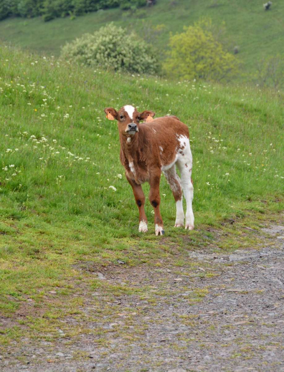
Belacker pasture (chaume)GPS coordinatesLatitude : 47.83732Longitude : 6.99006
 The Belacker pasture (chaume) is located between the Rossberg and the Vogelstein. These high mountain pastures are typically for the southern Vosges mountains. Their were first mentionned in 1550. Cattle appreciate juicy grass and gentle slopes. Hikers pause at Belacker's Inn.
 -
Vogelsteine (lava flow)GPS coordinatesLatitude : 47.82894Longitude : 7.00402
") The Vogelsteine lava flow dates from the volcanic period of the Vosges mountains, 330million year ago. At that time the surface was covered by a low water sea and islands.
The Vogelsteine lava flow dates from the volcanic period of the Vosges mountains, 330million year ago. At that time the surface was covered by a low water sea and islands. -
Volcano forestGPS coordinatesLatitude : 47.82957Longitude : 6.98788
 The Vogelstein rocks (1164m) overhang the volcano forest and are classified as a nature reserve, due to the unique forest and the special flora and fauna.