Circuit des Frémis
Difficulty ratingVery difficult
Distance (in km) 62.7
Elevation gain + (in m) 2688
Elevation loss - (in m) 2688
Length (3.5 km/h) - hiking on a 5 days tour: 18h
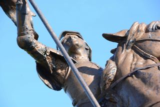
The Ballon d'Alsace Ballon extends over the regions of Lorraine, Franche-Comte and Alsace. The Ballon d'Alsace is located in the Regional Natural Park of Ballons des Vosges as well as in the the nature reserve of the Ballons Comtois. For over 30 years this pea
...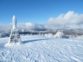
Located 1247m above sea level, the Ballon d'Alsace offers in summer: hiking, biking, the so called Cani-rando (accompanied by a dog), paragliding, climbing trees (acrobranch)
In winter it is one of the largest ski resorts of the Vosges and a snow park, more
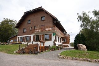
Overlooking the Doller
The inn of Langenberg is on the Alsatian side of the Ballon d'Alsace, nearby Franche-Comté (Belfort is at 30 km) and the Lorraine Region (Remiremont is at 40km). The place offers a panoramic view over the Vallée de Masevaux and Sewen.

Located 1247m above sea level, the Ballon d'Alsace offers in summer: hiking, biking, the so called Cani-rando (accompanied by a dog), paragliding, climbing trees (acrobranch)
In winter it is one of the largest ski resorts of the Vosges and a snow park, more

The Ballon d'Alsace Ballon extends over the regions of Lorraine, Franche-Comte and Alsace. The Ballon d'Alsace is located in the Regional Natural Park of Ballons des Vosges as well as in the the nature reserve of the Ballons Comtois. For over 30 years this pea
...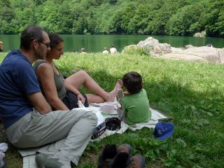
The Lake Perches, also called Sternsee (lake of the stars), is located in an old glacial cirque at 1000 meters altitude. Its name isn't due to the fish of the same name but to a transmission error. It should have been called “Bers”, the name of a pasture nearb
...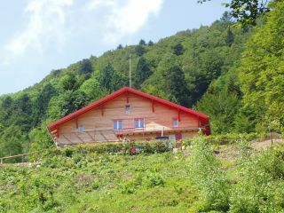
The Gazon Vert lodge is situated at 928m in a greenery surrounding. The traditional construction has been preserved as well as the view from above over the Storckensohn valley. Gazon Vert is different from the other lodges of the H...
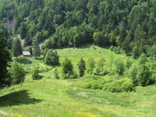
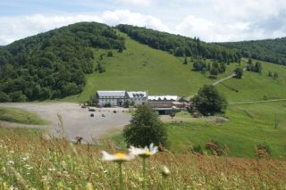
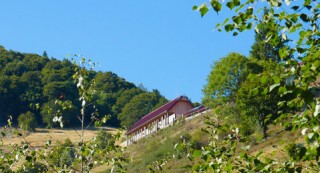
L'Auberge du Gustiberg is situated on a height of 980m and offers a great view of the Thur valley and the Bussang mountain pass, the natural border between Alsace and Lorraine. It is also a good spot for paragliding.
An institution
...
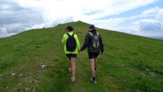
The Drumont is the highest peak of the Vosges massif (1200 m) and offers a wide panorama of the Alsace and Lorraine. From its viewpoint you have a beautiful view of the Ballon d'Alsace, the Ross Mountain, the Grand Ballon and you may even see the Bernese Alps.
...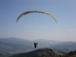
The high pasture Drumont is a starting point for experienced paragliders because the slope is very low and the air currents extremely changeable.
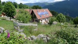
The Bergenbach farmer's lodge is located on the western flank of the Thur valley at 800 m altitude. The lodge offers a view of the Vosges peaks and the village of Fellering Oderen in the valley.
Since 1978
Jacques Simon and Marlene K...
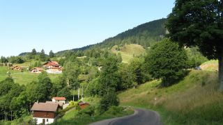
The Larcenaie ski resort offers a stunning views of Bussang. Summer and winter, the site offers a great number of activities such as snowshoeing and tobogganing or ski jumping on a synthetic track.
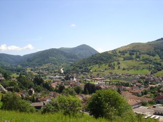
...
The popular theatre (Theatre du peuple) Bussang, is the part of the french national stages "Scène Nationale", and a unique place. With its opening to the forest this place is known far beyond the country's borders. The originality of the place and the fantasti
...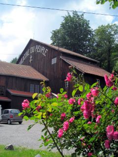
The popular theatre (Theatre du peuple) Bussang, is the part of the french national stages "Scène Nationale", and a unique place. With its opening to the forest this place is known far beyond the country's borders. The originality of the place and the fantasti
...