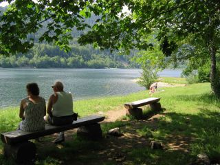
Gite de la ferme du Bergenbach
Caracteristics
- Accommodation types :
- Lodge
- Capacity :
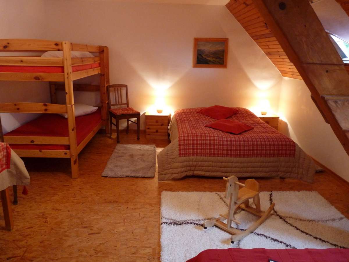
- 7 Rooms
- SURFACE :
- Capacité (persons) 32
Opening :
- Location :
- Thur valley
- General description :
- Restaurant room
- Common room
- EQUIPMENT :
- hi fi system (common room)
- CD-Player (common room)
- Library
- Washing machine
- CHILD EQUIPMENT :
- Baby cot
- Highchair
- Badewanne
- Baby change mat
- Bottle heater
- PARKING/GARAGE :
- Privat car park
- Cycle shelter
- ANIMALS :
- Animals not accepted
- Languages spoken :
- French
- English
- German
- Towels and sheets :
- Beds are made on arrival
- Sheets provided
- towles provided
Presentation
Gite de la ferme du Bergenbach
GPS coordinates
Latitude : 47.91188
Longitude : 6.95456
A breathtaking view
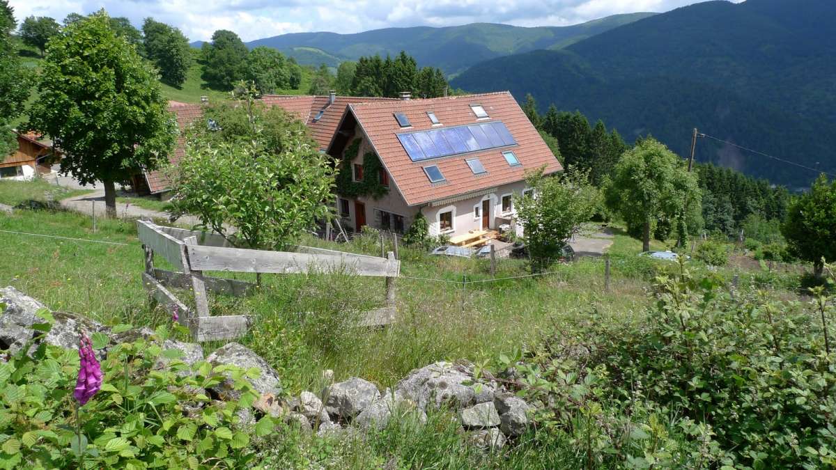
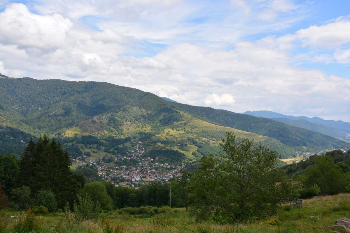
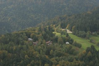
The Bergenbach farmer's lodge is located on the western flank of the Thur valley at 800 m altitude. The lodge offers a view of the Vosges peaks and the village of Fellering Oderen in the valley.
Since 1978
Jacques Simon and Marlene Kapp live here for over thirty years with their family.
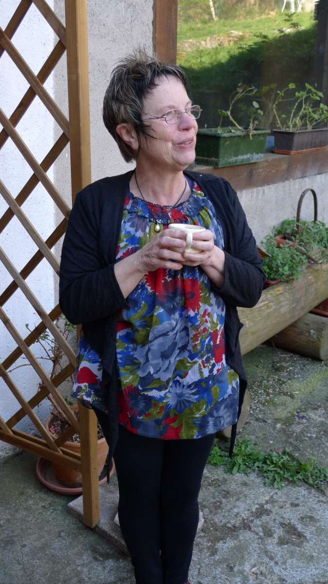
Marlene is bilingual and welcomes the German-speaking hikers. She loves to share his passion for philosophy in convivial evenings with her guests.
A bustling farm
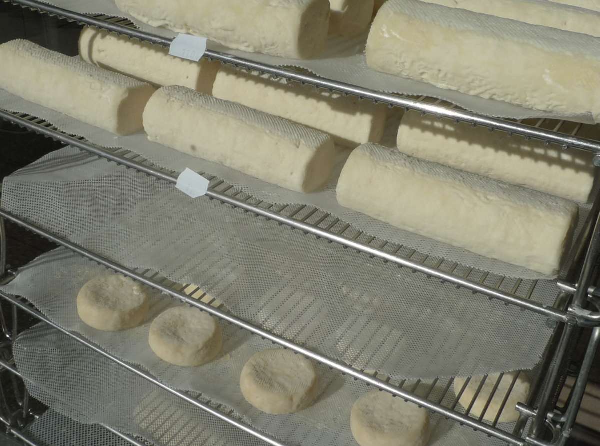
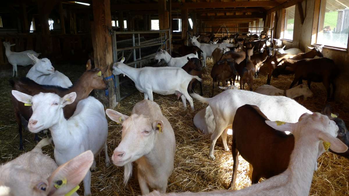
The farming's a priority for the Kapp-Simon family. There are a dozen pigs, hundred goats and twenty bovine grunting, bleating, mooing. Their also produce honey and eggs. And who expected Lamas in the Vosges?
Localisation
Road access: RD 13B. AT Oderen, park your car in front of the chapel of Bon Secours. Follow the signs on foot "green circle" and "red disk" to the Bergenbach farm.
My favorits
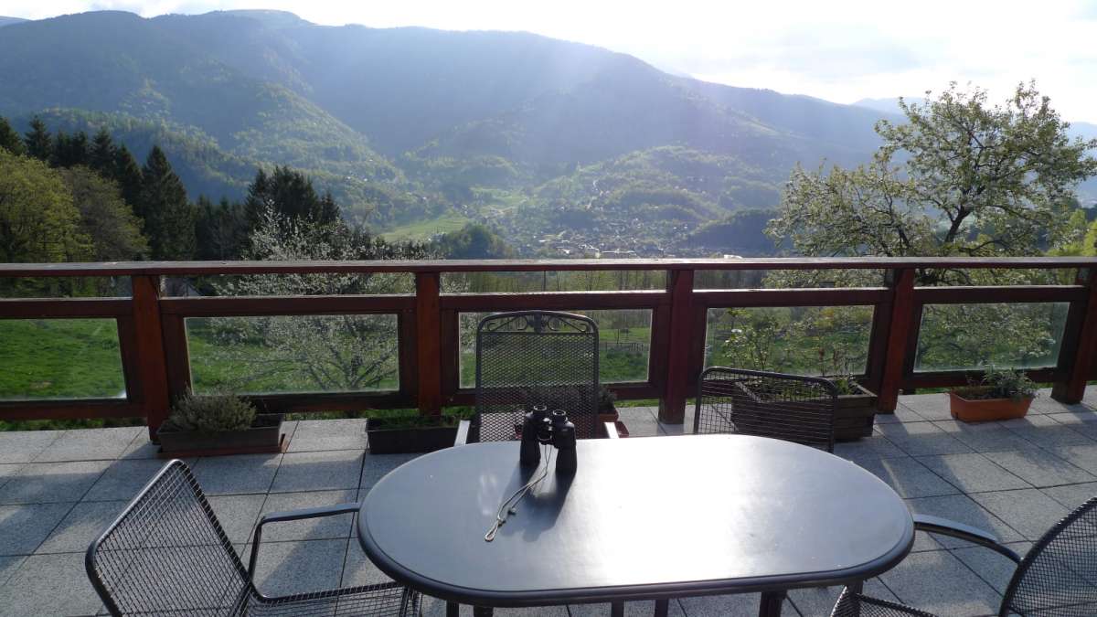
On the beautiful terrace, hikers will appreciate the last rays of the sun,
watching the beautiful landscape of the Vosges mountains.
Contact details of the owner
Gite de la ferme du Bergenbach
KAPP Marlène
2a rue du Bergenbach
68830
ODEREN
Phone : +33 389387416
Mob : +33 707520222
Excursion
