Gite du Gazon vert - gite du Gustiberg
Legend :
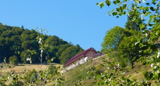
Auberge gîte du Gazon vert
Auberge du Gustiberg
Caracteristics
Difficulty ratingDifficult
Distance (in km) 13.2
Elevation gain + (in m) 774
Elevation loss - (in m) 766
Length (3.5 km/h) 3h45
along the way


 Book
Book
GPS data - 47.85219,6.92745

GPS data - 47.85609,6.92295
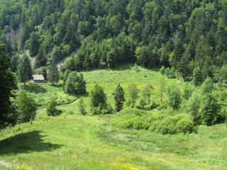
The Gazon Vert pasture is situated in an glacial circus. The site is surrounded by big fallen rocks. Water is flowing from a peat bog to a cascade below.

GPS data - 47.85425,6.91699
The Rouge-Gazon pastures dominates the Perches lake. It may have its name from a bloddy battle taking place here during the Thirty Years War and the red grass.

GPS data - 47.90178,6.92233
The Drumont is the highest peak of the Vosges massif (1200 m) and offers a wide panorama of the Alsace and Lorraine. From its viewpoint you have a beautiful view of the Ballon d'Alsace, the Ross Mountain, the Grand Ballon and you may even see the Bernese Alps.
...
GPS data - 47.89331,6.92850
A breathtaking panorama
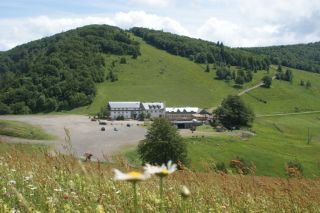
L'Auberge du Gustiberg is situated on a height of 980m and offers a great view of the Thur valley and the Bussang mountain pass, the natural border between Alsace and Lorraine. It is also a good spot for paragliding.
An institution
...
L'Auberge du Gustiberg is situated on a height of 980m and offers a great view of the Thur valley and the Bussang mountain pass, the natural border between Alsace and Lorraine. It is also a good spot for paragliding.
An institution
...
