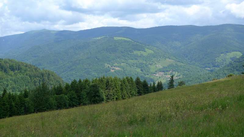
Pasture of Drumont ( Chaume du Drumont)
Presentation
Pasture of Drumont ( Chaume du Drumont)
GPS coordinates
Latitude : 47.90178
Longitude : 6.92233
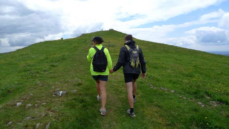
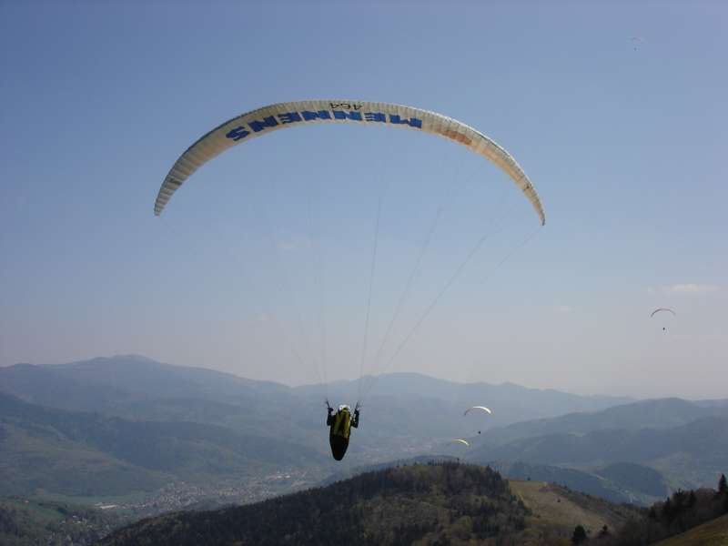
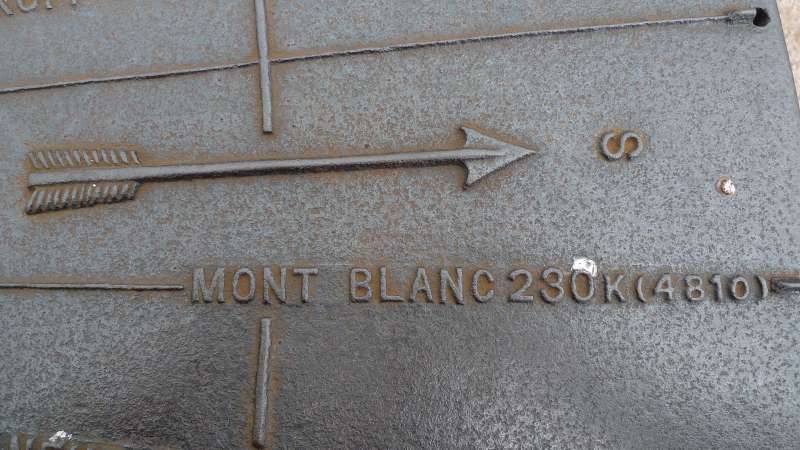
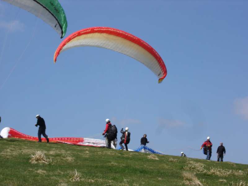
The Drumont is the highest peak of the Vosges massif (1200 m) and offers a wide panorama of the Alsace and Lorraine. From its viewpoint you have a beautiful view of the Ballon d'Alsace, the Ross Mountain, the Grand Ballon and you may even see the Bernese Alps. The meadow areas are popular with paragliders. In autumn 1944 the Germans set the pasture in fire, followed by a heavy fight in November. A commemorative plaque in memory was put up for the fallen.
Localisation

Contact
Pasture of Drumont ( Chaume du Drumont)
88540
BUSSANG

