Gite du Gazon vert - Cercle St Thiébaut

Legend :
Auberge gîte du Gazon vert
Cercle Saint Thiébaut
Caracteristics

Difficulty ratingVery difficult

Distance (in km) 21.3

Elevation gain + (in m) 628

Elevation loss - (in m) 1223

Length (3.5 km/h) 6h
along the way
GPS data - 47.85219,6.92745
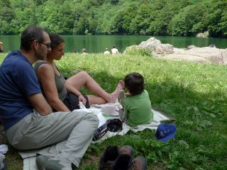
Relaxing on the lake front of lake perches
GPS data - 47.84626,6.92312

The Lake Perches, also called Sternsee (lake of the stars), is located in an old glacial cirque at 1000 meters altitude. Its name isn't due to the fish of the same name but to a transmission error. It should have been called “Bers”, the name of a pasture nearb

...
 	Belackerkopf
GPS data - 47.83732,6.99006
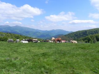
The Belacker pasture (chaume) is located between the Rossberg and the Vogelstein. These high mountain pastures are typically for the southern Vosges mountains. Their were first mentionned in 1550. Cattle appreciate juicy grass and gentle slopes. Hikers pause a...
Belacker lodge
GPS data - 47.83801,6.99076
Amid the high pastures
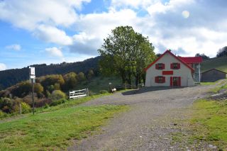
In the vicinity of Vogelstein, rocky headlands located at 1 181m above sea  reveal the Belacker Inn. The terrace of the establishment offers a view of the valley of Saint-Amarin and of the highest peaks of the Massif des Vosges, the Gra
...
Volcano forest
GPS data - 47.82957,6.98788
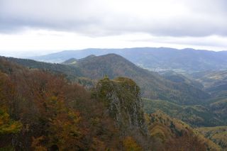
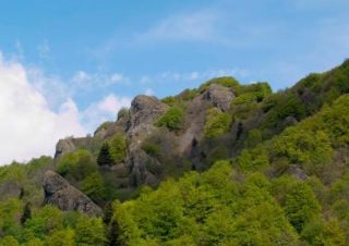
The Vogelstein rocks (1164m) overhang the volcano forest and are classified as a nature reserve, due to the unique forest and the special flora and fauna.
Vogelsteine (lava flow)
GPS data - 47.82894,7.00402
The Vogelsteine lava flow dates from the volcanic period of the Vosges mountains, 330million year ago. At that time the surface was covered by a low water sea and islands.
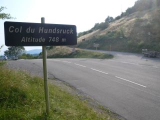
Hundsruck mountain pass
GPS data - 47.80622,7.04226
The Hundsruck mountain pass lies at 748m forms the passage between the valleys of the Thur and the Doller. Cyclists climbing the pass regulary. The french army built this road, called Joffre Road, to supply the front at Hartmannswillerkopf during the First Wor...
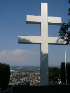
View of the Thann from the Lorraine cross
GPS data - 47.80871,7.09637

The Cross of Lorraine (Croix de Lorraine) was inaugurated by General de Gaulle in 1949 in memory of all the fighters who fought during World War 2 in this place. It is a monument of Alsatian resistance. The cross is illuminated and can be seen from Thann.

...
Collegiate Church of Thann
GPS data - 47.81128,7.10160

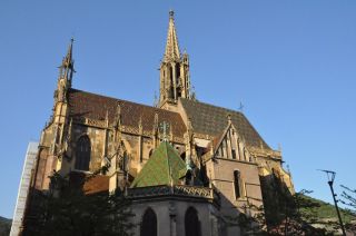
Located at the bottom of the Thur Valley and at the foot of the Vosges, Thann invites you to discover the charm of an old alsatian fortified town.

One of the most important relgious buildings of the town is the Collegiate church of Saint-Thiébaut. It is a j
...
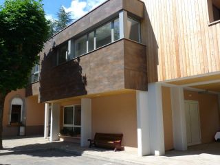
Cercle St Thiebaut
GPS data - 47.80794,7.10154

The lodge “Cercle St Thiebaut” is located near the train station and downtown Thann, not far from the hikingtrail GR5. It is a point of departure and a destination or a stopover for hikers. Due to its location, the hostel can be easily reached by bus from all

...
Book