Natural sights
27 results Sort :
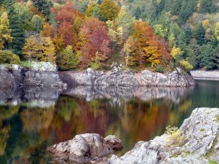
Overlooking the Doller valley the Alfeld Lake is dammed since 1883, to supply lower levels with water. His origin is due to glacial erosion. A path leads to a hut near a cascade.
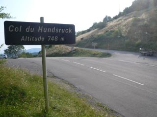
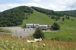
The Hundsruck mountain pass lies at 748m forms the passage between the valleys of the Thur and the Doller. Cyclists climbing the pass regulary. The french army built this road, ...
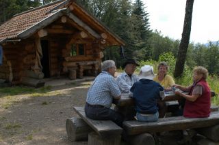
The Wegscheid shelter is made of larch and spruce wood, coming from the surroundings of the cabin. It was built according the traditional techniques of the log construction. It is ...
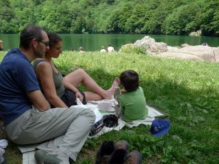
The Lake Perches, also called Sternsee (lake of the stars), is located in an old glacial cirque at 1000 meters altitude. Its name isn't due to the fish of the same name but to ...
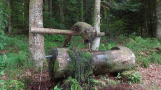
Hikers refresh at the fountain of the Three Wise Men. Water is coming out of a branch, looking like a swans neck.
The Rouge-Gazon pastures dominates the Perches lake. It may have its name from a bloddy battle taking place here during the Thirty Years War and the red grass.
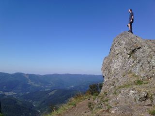
This summit on a height of 1042m has a round top, wich is caracteristic for the summits of the Vosges. (Ballons des Vosges). The word comes originally from the prefix "b...
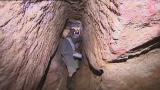
The coal mine path is situated at the foot of the Ballon d'Alsace in Giromagny and shows the history of the copper silver and lead mining.
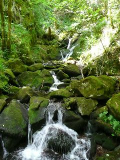
The enchanted cascade Saint-Nicolas is hidden above the village Kruth and has its name from the chapel next to it.