Natural sights - Page 2
27 results Sort :
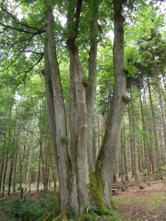
The tree with the six truncs lies nearby crossroad Diebolt Scherrer between Thann and the Farm-lodge Buissonnets. This type of tree with multiples trunks is caracteristic of the ...
Nearby Hundruck pass, the Teufelskanzel rock has volcanic origins. Its name has Germanic roots and means devils pulpit.
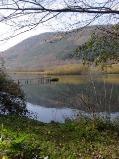
This lake, nearby Urbès is an ancient bog, emerged from the melting glaciers and not far from the Bussang mountain pass. The water stagnates and organic substances accu...
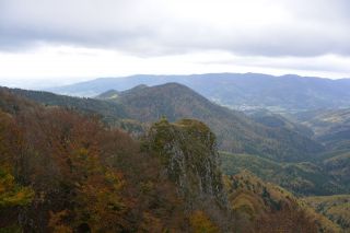
The Vogelstein rocks (1164m) overhang the volcano forest and are classified as a nature reserve, due to the unique forest and the special flora and fauna.
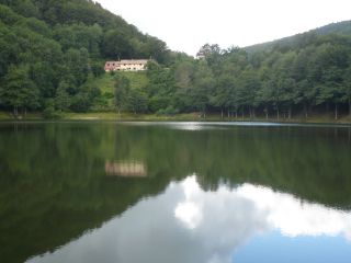
The Lachtelweiher is the most southern lake of the Vosges. According to geologists the rocks that form the natural dam of the lake came from a landslide.
According to a legend, ...
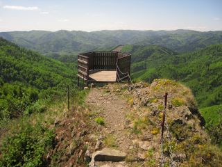
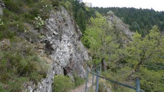
The Fuchsfelsen ledge was created to allow a panoramic view of the Doller valley and the Ballon d'Alsace.
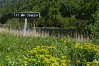
Sewen Lake is characteristic of the ancient glacial valleys. The lake is actually transforming into marshland. Beavers were reintroduced here recently in their natural habitat.
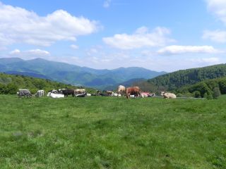
The Belacker pasture (chaume) is located between the Rossberg and the Vogelstein. These high mountain pastures are typically for the southern Vosges mountains. Their were first ...
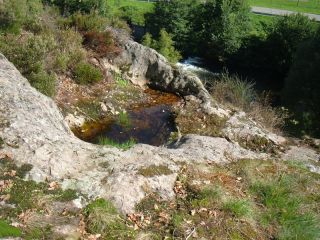
The glacier mills of Saint-Amarin are due to the rapid melting of the glaciers (in the last ice age about 12 to 13 thousand years ago). Waterfalls dug progressively holes into the ...
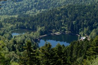
The path of the three lakes is situated nearby Gresson and Haute-Bers rigdges and runs past the Neuweiher lake and the Perches lake.