Cercle St Thiébaut - gite des Buissonnets (par Steinby)
Difficulty ratingModerate
Distance (in km) 8.1
Elevation gain + (in m) 454
Elevation loss - (in m) 88
Length (3.5 km/h) 2h20
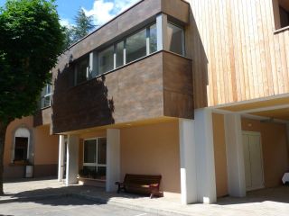
The lodge “Cercle St Thiebaut” is located near the train station and downtown Thann, not far from the hikingtrail GR5. It is a point of departure and a destination or a stopover for hikers. Due to its location, the hostel can be easily reached by bus from all
...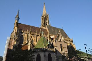
Located at the bottom of the Thur Valley and at the foot of the Vosges, Thann invites you to discover the charm of an old alsatian fortified town.
One of the most important relgious buildings of the town is the Collegiate church of Saint-Thiébaut. It is a j
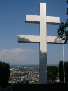
The Cross of Lorraine (Croix de Lorraine) was inaugurated by General de Gaulle in 1949 in memory of all the fighters who fought during World War 2 in this place. It is a monument of Alsatian resistance. The cross is illuminated and can be seen from Thann.
...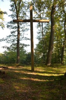
The Missions Cross (Croix de Mission), on the territory of the municipality Thann, was built in 1950 by scouts and destroyed by the storm in 1999. In 2003 the cross was rebuilt with the support of the French National Forest Service (Office national des forêts)
...
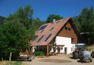
Homemade ...
The dishes on the menu ...
