Gite des Buissonnets - gite du Belacker (par le Parc des Volcans)
Legend :
Ferme Auberge des Buissonnets
Auberge du Belacker
Caracteristics
Difficulty ratingModerate
Distance (in km) 9.1
Elevation gain + (in m) 450
Elevation loss - (in m) 179
Length (3.5 km/h) 2h35
along the way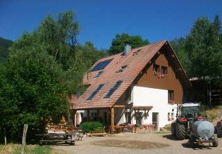
 Book
Book

GPS data - 47.80784,7.02738
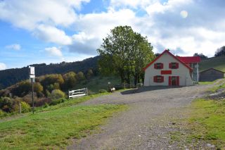
The Ferme-Auberge Buissonnets is situated on the southern slopes of the Rossberg massif, near the village Bourbach-le-Haut and the Hundsruck pass. The farm is embedded in pastures, and keeps many kinds of farm animals.
Homemade ...
The dishes on the menu ...
Homemade ...
The dishes on the menu ...

GPS data - 47.82529,6.99886
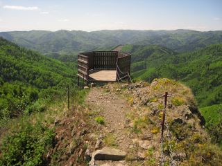
The Fuchsfelsen ledge was created to allow a panoramic view of the Doller valley and the Ballon d'Alsace.

GPS data - 47.82957,6.98788
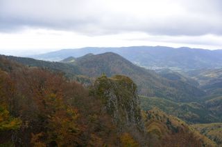
The Vogelstein rocks (1164m) overhang the volcano forest and are classified as a nature reserve, due to the unique forest and the special flora and fauna.

GPS data - 47.83732,6.99006
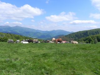
The Belacker pasture (chaume) is located between the Rossberg and the Vogelstein. These high mountain pastures are typically for the southern Vosges mountains. Their were first mentionned in 1550. Cattle appreciate juicy grass and gentle slopes. Hikers pause a...

GPS data - 47.83801,6.99076
Amid the high pastures
In the vicinity of Vogelstein, rocky headlands located at 1 181m above sea reveal the Belacker Inn. The terrace of the establishment offers a view of the valley of Saint-Amarin and of the highest peaks of the Massif des Vosges, the Gra...
In the vicinity of Vogelstein, rocky headlands located at 1 181m above sea reveal the Belacker Inn. The terrace of the establishment offers a view of the valley of Saint-Amarin and of the highest peaks of the Massif des Vosges, the Gra...
