Circuit des Lacs
Download the GPS track (GPX File)
Download the GPS track (GPX File)
Download the GPS track (GPX File)
Difficulty ratingDifficult
Distance (in km) 56.6
Elevation gain + (in m) 2388
Elevation loss - (in m) 2388
Length in Days (3.5 km/h) 4
Length in Days/Nights (3.5 km/h) 3
Length (3.5 km/h) - hiking on a 3 days tour: 3h30
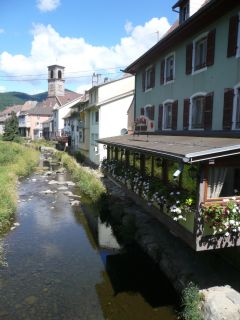
Masevaux, is the central place of the Doller valley and is an idyllic place: the Grange Burcklé is a good location for music and theater events; the Catholic church performs each year the Passion of Jesus in German language; the Church of St. Martin organizes
...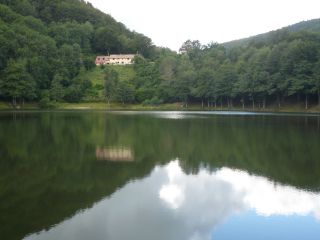
The Lachtelweiher is the most southern lake of the Vosges. According to geologists the rocks that form the natural dam of the lake came from a landslide.
According to a legend, the stones on the shore turn into gold. The stone of the famous philosopher, lie
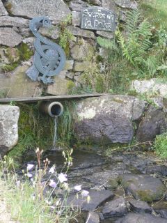
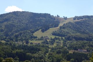
The Schlumpf ski resort at Dolleren, is located between 675m and 1012m altitude and has three slopes:
- La Verdure, a red slope with an average gradient of 30%
- La Dolleroise, a green slope
- A toboggan run
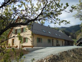
On the sunny side
The Graber hostel is located on the southern side of the Masevaux valley, nearby the Doller source.The Bittel familiy took over the lodge to preserve local traditions.
The architecture is an example of farms from the late 19th century. Th
...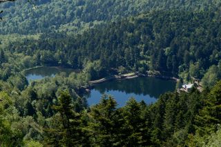
Both of the Neuweiher lakes are the result of glacier activity. Throughout their history, the lakes were drained and used as a meadow. Then the dikes were built again for the needs of the metallurgical industry below in the valley. Therefore there were named N
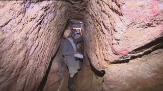
...
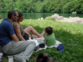
The Lake Perches, also called Sternsee (lake of the stars), is located in an old glacial cirque at 1000 meters altitude. Its name isn't due to the fish of the same name but to a transmission error. It should have been called “Bers”, the name of a pasture nearb
...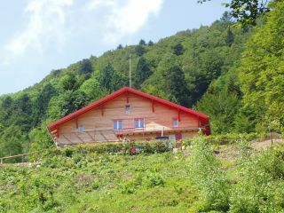
The Gazon Vert lodge is situated at 928m in a greenery surrounding. The traditional construction has been preserved as well as the view from above over the Storckensohn valley. Gazon Vert is different from the other lodges of the H...

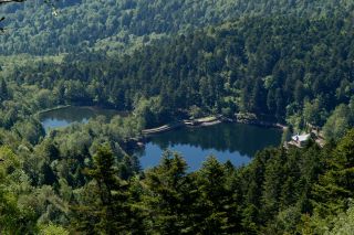
The Lake Perches, also called Sternsee (lake of the stars), is located in an old glacial cirque at 1000 meters altitude. Its name isn't due to the fish of the same name but to a transmission error. It should have been called “Bers”, the name of a pasture nearb
...

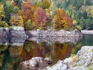
Both of the Neuweiher lakes are the result of glacier activity. Throughout their history, the lakes were drained and used as a meadow. Then the dikes were built again for the needs of the metallurgical industry below in the valley. Therefore there were named N
...
Overlooking the Doller valley the Alfeld Lake is dammed since 1883, to supply lower levels with water. His origin is due to glacial erosion. A path leads to a hut near a cascade.
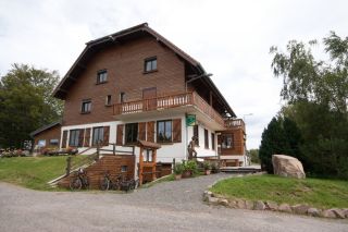
Overlooking the Doller
The inn of Langenberg is on the Alsatian side of the Ballon d'Alsace, nearby Franche-Comté (Belfort is at 30 km) and the Lorraine Region (Remiremont is at 40km). The place offers a panoramic view over the Vallée de Masevaux and Sewen.
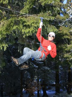
At the Ballon d'Alsace, the Acrobranch Park offers 12 different obstacle courses: monkey bridges, Tarzan lianas ... The Acro-ball is the highlight of the adventure park. It is a giant inflatable ball that rolls down the slopes in the grass or in the snow.
...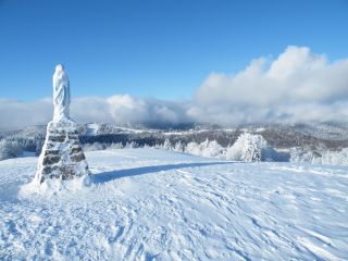
Located 1247m above sea level, the Ballon d'Alsace offers in summer: hiking, biking, the so called Cani-rando (accompanied by a dog), paragliding, climbing trees (acrobranch)
In winter it is one of the largest ski resorts of the Vosges and a snow park, more
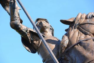
The Ballon d'Alsace Ballon extends over the regions of Lorraine, Franche-Comte and Alsace. The Ballon d'Alsace is located in the Regional Natural Park of Ballons des Vosges as well as in the the nature reserve of the Ballons Comtois. For over 30 years this pea
...
Overlooking the Doller valley the Alfeld Lake is dammed since 1883, to supply lower levels with water. His origin is due to glacial erosion. A path leads to a hut near a cascade.
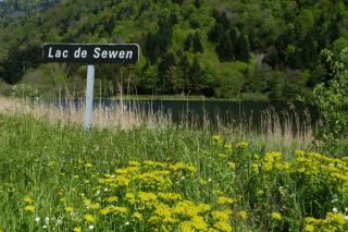
Sewen Lake is characteristic of the ancient glacial valleys. The lake is actually transforming into marshland. Beavers were reintroduced here recently in their natural habitat.
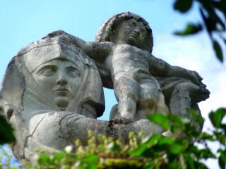
The Virgin of Alsace (Vierge d'Alsace) stands on the Eichstein ledge and is watching over Niederbruck and the Doller valley. It was sculpted in 1923 by Antoine Bourdelle in gray stone. Before setting up the sculpture it was presented at the Autumn Paris Fair.
...
Masevaux, is the central place of the Doller valley and is an idyllic place: the Grange Burcklé is a good location for music and theater events; the Catholic church performs each year the Passion of Jesus in German language; the Church of St. Martin organizes
...