Circuit des Véternats
Download the GPS track (GPX File)
Download the GPS track (GPX File)
Download the GPS track (GPX File)
Download the GPS track (GPX File)
Difficulty ratingDifficult
Distance (in km) 54.6
Elevation gain + (in m) 2504
Elevation loss - (in m) 2508
Length (3.5 km/h) - hiking on a 4 days tour: 15h45
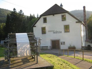
Ventron is first of all known for the hermitage “Brother Joseph” (Frère Joseph). It was built in 1757 by residents in honor of the kindness of Pierre Joseph Formet, who had been chased away from his own family.
The Textile Museum shows all the tricks of the s
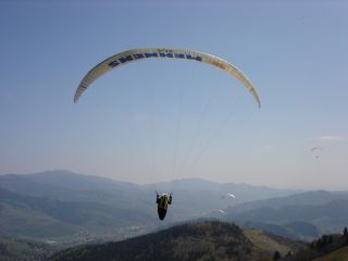
The high pasture Drumont is a starting point for experienced paragliders because the slope is very low and the air currents extremely changeable.
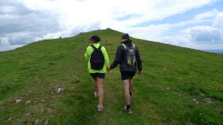
The Drumont is the highest peak of the Vosges massif (1200 m) and offers a wide panorama of the Alsace and Lorraine. From its viewpoint you have a beautiful view of the Ballon d'Alsace, the Ross Mountain, the Grand Ballon and you may even see the Bernese Alps.
...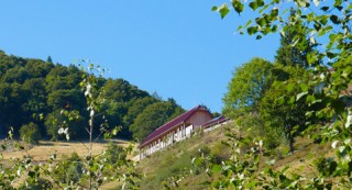
L'Auberge du Gustiberg is situated on a height of 980m and offers a great view of the Thur valley and the Bussang mountain pass, the natural border between Alsace and Lorraine. It is also a good spot for paragliding.
An institution
...
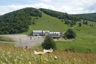
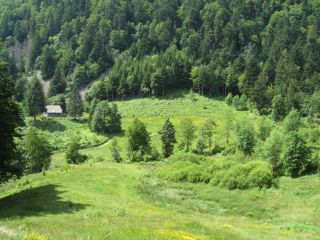
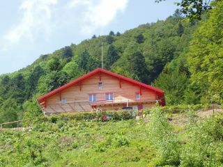
The Gazon Vert lodge is situated at 928m in a greenery surrounding. The traditional construction has been preserved as well as the view from above over the Storckensohn valley. Gazon Vert is different from the other lodges of the H...

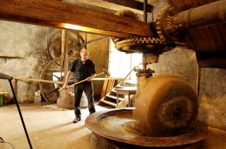
Gourmands be ready: The visitors store enc...
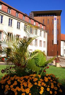
The Wesserling Park, a former industrial site, has a textile museum, the house of the former industry, remarkable gardens and creative workshops. He was nominated in the television broadcast "the most beautiful monuments of France".
The park offers year-round
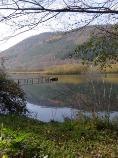
This lake, nearby Urbès is an ancient bog, emerged from the melting glaciers and not far from the Bussang mountain pass. The water stagnates and organic substances accumulate to form a remarkable ecosystem: the peat-bogs.
...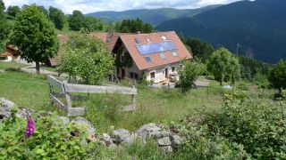
The Bergenbach farmer's lodge is located on the western flank of the Thur valley at 800 m altitude. The lodge offers a view of the Vosges peaks and the village of Fellering Oderen in the valley.
Since 1978
Jacques Simon and Marlene K...

Ventron is first of all known for the hermitage “Brother Joseph” (Frère Joseph). It was built in 1757 by residents in honor of the kindness of Pierre Joseph Formet, who had been chased away from his own family.
The Textile Museum shows all the tricks of the s
