Auberge du Langenberg - gite du Gazon vert (par les lacs)
Difficulty ratingDifficult
Distance (in km) 14.4
Elevation gain + (in m) 724
Elevation loss - (in m) 852
Length (3.5 km/h) 4h10
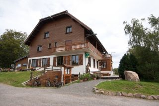
Overlooking the Doller
The inn of Langenberg is on the Alsatian side of the Ballon d'Alsace, nearby Franche-Comté (Belfort is at 30 km) and the Lorraine Region (Remiremont is at 40km). The place offers a panoramic view over the Vallée de Masevaux and Sewen.
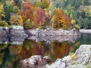
Overlooking the Doller valley the Alfeld Lake is dammed since 1883, to supply lower levels with water. His origin is due to glacial erosion. A path leads to a hut near a cascade.
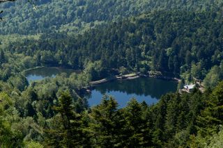
Both of the Neuweiher lakes are the result of glacier activity. Throughout their history, the lakes were drained and used as a meadow. Then the dikes were built again for the needs of the metallurgical industry below in the valley. Therefore there were named N
...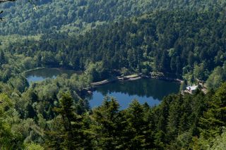
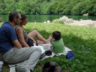
The Lake Perches, also called Sternsee (lake of the stars), is located in an old glacial cirque at 1000 meters altitude. Its name isn't due to the fish of the same name but to a transmission error. It should have been called “Bers”, the name of a pasture nearb
...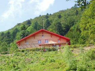
The Gazon Vert lodge is situated at 928m in a greenery surrounding. The traditional construction has been preserved as well as the view from above over the Storckensohn valley. Gazon Vert is different from the other lodges of the H...
