Gite du Graber - gite du Belacker
Legend :
Gite d'étape du Graber
Auberge du Belacker
Caracteristics
Difficulty ratingModerate
Distance (in km) 11.3
Elevation gain + (in m) 614
Elevation loss - (in m) 293
Length (3.5 km/h) 3h15
along the way


 Book
Book

GPS data - 47.79471,6.90612
On the sunny side
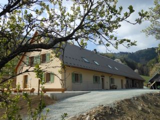
The Graber hostel is located on the southern side of the Masevaux valley, nearby the Doller source.The Bittel familiy took over the lodge to preserve local traditions.
The architecture is an example of farms from the late 19th century. Th
...
GPS data - 47.79339,6.92267
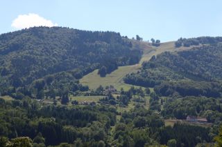
The Schlumpf ski resort at Dolleren, is located between 675m and 1012m altitude and has three slopes:
- La Verdure, a red slope with an average gradient of 30%
- La Dolleroise, a green slope
- A toboggan run

GPS data - 47.83732,6.99006
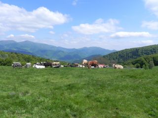
The Belacker pasture (chaume) is located between the Rossberg and the Vogelstein. These high mountain pastures are typically for the southern Vosges mountains. Their were first mentionned in 1550. Cattle appreciate juicy grass and gentle slopes. Hikers pause a...

GPS data - 47.83801,6.99076
Amid the high pastures
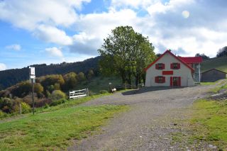
In the vicinity of Vogelstein, rocky headlands located at 1 181m above sea reveal the Belacker Inn. The terrace of the establishment offers a view of the valley of Saint-Amarin and of the highest peaks of the Massif des Vosges, the Gra...
In the vicinity of Vogelstein, rocky headlands located at 1 181m above sea reveal the Belacker Inn. The terrace of the establishment offers a view of the valley of Saint-Amarin and of the highest peaks of the Massif des Vosges, the Gra...
