Gite du Gustiberg - gite du Gazon vert
Legend :
Auberge du Gustiberg
Auberge du Gazon Vert-gîte d'étape
Caracteristics
Difficulty ratingDifficult
Distance (in km) 13.2
Elevation gain + (in m) 764
Elevation loss - (in m) 784
Length (3.5 km/h) 3h45
along the way


 Book
Book

GPS data - 47.89331,6.92850
A breathtaking panorama
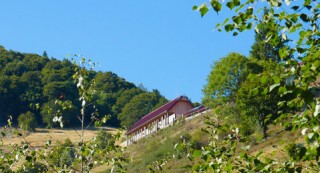
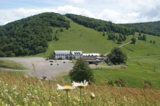
L'Auberge du Gustiberg is situated on a height of 980m and offers a great view of the Thur valley and the Bussang mountain pass, the natural border between Alsace and Lorraine. It is also a good spot for paragliding.
An institution
...
L'Auberge du Gustiberg is situated on a height of 980m and offers a great view of the Thur valley and the Bussang mountain pass, the natural border between Alsace and Lorraine. It is also a good spot for paragliding.
An institution
...

GPS data - 47.85425,6.91699
The Rouge-Gazon pastures dominates the Perches lake. It may have its name from a bloddy battle taking place here during the Thirty Years War and the red grass.

GPS data - 47.85609,6.92295
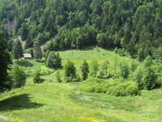
The Gazon Vert pasture is situated in an glacial circus. The site is surrounded by big fallen rocks. Water is flowing from a peat bog to a cascade below.

GPS data - 47.85219,6.92745
An exceptional natural site
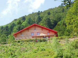
The Gazon Vert lodge is situated at 928m in a greenery surrounding. The traditional construction has been preserved as well as the view from above over the Storckensohn valley. Gazon Vert is different from the other lodges of the H...
The Gazon Vert lodge is situated at 928m in a greenery surrounding. The traditional construction has been preserved as well as the view from above over the Storckensohn valley. Gazon Vert is different from the other lodges of the H...
