Gite du Graber - église de Masevaux (par la vallée)
Difficulty ratingModerate
Distance (in km) 11.8
Elevation gain + (in m) 248
Elevation loss - (in m) 493
Length (3.5 km/h) 3h20

On the sunny side
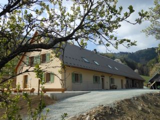
The Graber hostel is located on the southern side of the Masevaux valley, nearby the Doller source.The Bittel familiy took over the lodge to preserve local traditions.
The architecture is an example of farms from the late 19th century. Th
...
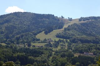
The Schlumpf ski resort at Dolleren, is located between 675m and 1012m altitude and has three slopes:
- La Verdure, a red slope with an average gradient of 30%
- La Dolleroise, a green slope
- A toboggan run

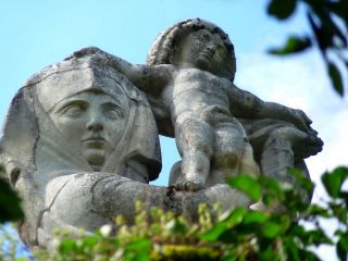
The Virgin of Alsace (Vierge d'Alsace) stands on the Eichstein ledge and is watching over Niederbruck and the Doller valley. It was sculpted in 1923 by Antoine Bourdelle in gray stone. Before setting up the sculpture it was presented at the Autumn Paris Fair.
...
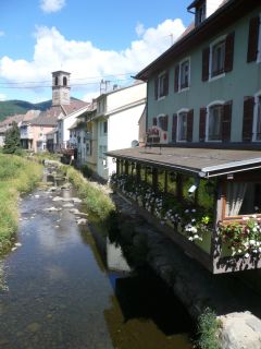
Masevaux, is the central place of the Doller valley and is an idyllic place: the Grange Burcklé is a good location for music and theater events; the Catholic church performs each year the Passion of Jesus in German language; the Church of St. Martin organizes
...