Gite du Graber - Cosec de Giromagny
Difficulty ratingDifficult
Distance (in km) 15.8
Elevation gain + (in m) 543
Elevation loss - (in m) 720
Length (3.5 km/h) 4h30

On the sunny side
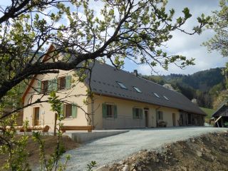
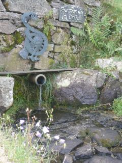
The Graber hostel is located on the southern side of the Masevaux valley, nearby the Doller source.The Bittel familiy took over the lodge to preserve local traditions.
The architecture is an example of farms from the late 19th century. Th
...

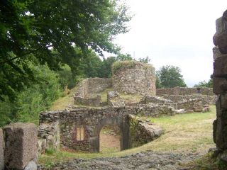
The castle (Château du Rosemont) is located on the slopes of the Ballon d'Alsace and was apparently built by Louis de Mousson, Count of Montbéliard. The remains consist of a square tower in the east with two or three floors, and 1.50 m thick walls as well as t
...
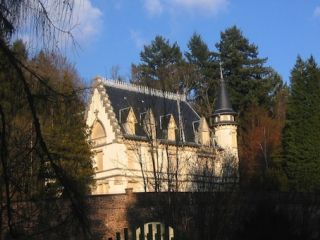
This castle was built in 1900 by the architect Constant Tisserand, in neogothic style and using ferroconcrete as building material. It belonged to the family until 1947, it was then bought by the city of Belfort. Today a childrens summer camp is housed in the
...