Auberge du Langenberg


- Accommodation types :
- Mountain Inn
- Capacity :
- 8 Beds
- 33 beds
- SURFACE :
- Capacité (persons) 33
- Location :
- in the mountains
- Doller valley
- General description :
- Restaurant room
- Common room
- Laundry
- EQUIPMENT :
- TV (common room)
- WLAN
- Washing machine
- EQUIPMENT/LEISURE :
- Party game
- BALCONY/TERRACE :
- Terrace
- Balcony
- Garden
- Garden furniture
- CHILD EQUIPMENT :
- Baby cot
- Highchair
- Badewanne
- Baby change mat
- Bottle heater
- PARKING/GARAGE :
- Public car park
- Privat car park
- Cycle shelter
- ANIMALS :
- Animals not accepted
- Languages spoken :
- French
- German
- Towels and sheets :
- Beds are made on arrival
- towles provided
Overlooking the Doller
The inn of Langenberg is on the Alsatian side of the Ballon d'Alsace, nearby Franche-Comté (Belfort is at 30 km) and the Lorraine Region (Remiremont is at 40km). The place offers a panoramic view over the Vallée de Masevaux and Sewen. The house Langenberg is situated at the bottom of the Great Langenberg and the ski slopes of the Ballon d'Alsace.
A family welcome
Jean-Claude Carrier is your host. His son, Damien prepares delicious traditional Alsatian dishes: Flammkuchen, baeckeofa, homemade pies and for sausage lovers, pork in the fall season. The terrace is open in summer.
Since 1984 ...
The inn has been run for over thirty years by the Fluhr family. It was built in 1984, completely modernized in 2009 and extended in 2012.
-
Acrobranch park at Ballon d'AlsaceGPS coordinatesLatitude : 47.80099Longitude : 6.84867
 At the Ballon d'Alsace, the Acrobranch Park offers 12 different obstacle courses: monkey bridges, Tarzan lianas ... The Acro-ball is the highlight of the adventure park. It is a giant inflatable ball that rolls down the slopes in the grass or in the snow.
 -
Ballon d'AlsaceGPS coordinatesLatitude : 47.82055Longitude : 6.83450
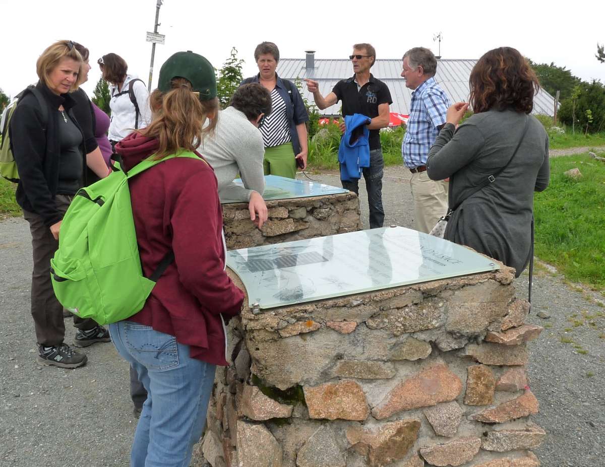
 The Ballon d'Alsace Ballon extends over the regions of Lorraine, Franche-Comte and Alsace. The Ballon d'Alsace is located in the Regional Natural Park of Ballons des Vosges as well as in the the nature reserve of the Ballons Comtois. For over 30 years this peak belongs with its 1,247 mete...
 -
The path of the three lakesGPS coordinatesLatitude : 47.83837Longitude : 6.91355
 The path of the three lakes is situated nearby Gresson and Haute-Bers rigdges and runs past the Neuweiher lake and the Perches lake.
 -
Lake Sewen and glacial valleyGPS coordinatesLatitude : 47.81156Longitude : 6.89914
 Sewen Lake is characteristic of the ancient glacial valleys. The lake is actually transforming into marshland. Beavers were reintroduced here recently in their natural habitat.
 -
Alfeld LakeGPS coordinatesLatitude : 47.81718Longitude : 6.87116
 Overlooking the Doller valley the Alfeld Lake is dammed since 1883, to supply lower levels with water. His origin is due to glacial erosion. A path leads to a hut near a cascade.